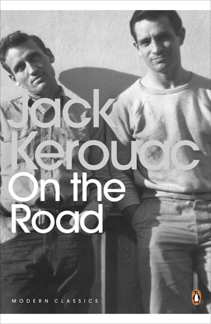
Mr. I sent me a link recently to Atlas Obscura’s “The Obsessively Detailed Map of American Literature’s Most Epic Road Trips.” It is obsessive. Richard Kreitner (writing) and Steven Melendez (map) partnered to create a compelling interactive map over which colored lines streak following the stories of Blue Highways (1982), On the Road (1957), Travels with Charley (1962), Wild (2012), Roughing It (1872), and more. With one click, you can read how a variety of authors experienced the same place. Over 1,500 passages are painstakingly linked to the map. The work is so compelling, as one person’s perception could be so different from your own. It can color your view of that place for the future.
 I isolated On the Road, and clicked on a random dot in Pennsylvania. It was the Susquehanna River Valley, and Kerouac, in a not flattering description of that body of water, wrote this:
“We walked seven miles along the mournful Susquehanna. It is a terrifying river. It has bushy cliffs on both sides that lean like hairy ghosts over the unknown waters. Inky night covers all. Sometimes from the railyards across the river rises a great red locomotive flare that illuminates the horrid cliffs.”
Today, my experience of the same river valley is somewhat flipped. My family has been making a living moving among communities in Maryland and Pennsylvania along the river for nearly 400 years. I see more loss in the absence of transportation along the rails and the river than I do terror. Lost pathway mean barricades to experience. I find this atrophy worse than fire.


